Contextual Opening
Our wider analysis of Bangalore’s peri-urban frontier established that ecological constraints on development are most consequential when they are least visible. Stormwater drainage is the ecological function that most directly connects the plateau’s hydrological system to the built environment’s operational vulnerability, yet it is among the most poorly understood and most inadequately provided for in Bangalore’s development history. This memorandum examines urban flood risk as a real estate investment risk, addressing the hydrological mechanisms that create flood exposure, the regulatory framework that governs stormwater management, and the financial implications of flood risk for asset values, operating economics, and occupant experience in the metropolitan region.
Urban flooding in Bangalore has become a recurring operational disruption that affects a significant fraction of the city’s residential and commercial building stock during intense monsoon events. The 2015, 2017, and 2022 major flood events affected properties across multiple established commercial and residential corridors, with documented damage to vehicles, building infrastructure, and electronic equipment. The financial consequences of each event were distributed across thousands of property owners and occupants whose insurance coverage, flood resilience design, and drainage infrastructure varied widely. Understanding the determinants of flood exposure and flood resilience is the prerequisite for incorporating flood risk accurately into real estate investment analysis.
The System Mechanism
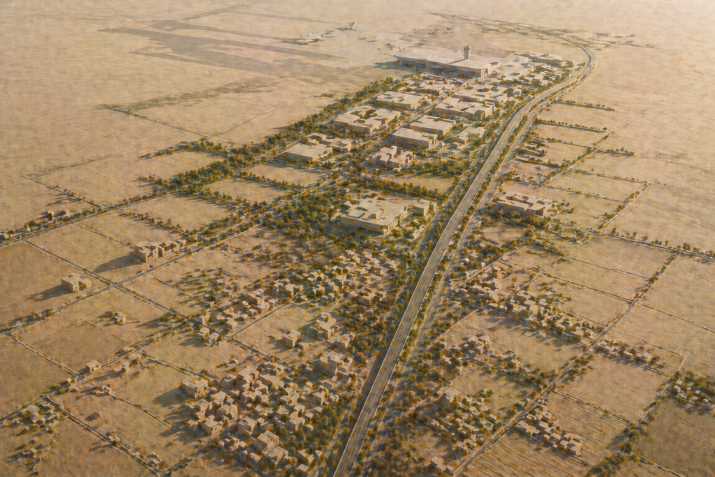
Urban flood risk in Bangalore arises from the interaction between monsoon rainfall intensity, surface drainage capacity, and the stormwater network’s ability to convey runoff to receiving water bodies without surcharging into occupied areas. The Deccan Plateau’s hard rock geology creates a naturally high runoff coefficient: when rainfall intensity exceeds the infiltration rate of the soil or rock surface, the excess becomes immediate surface runoff. In undeveloped agricultural landscapes, this runoff is managed through the tank system that was designed to capture and store the plateau’s runoff for agricultural irrigation. As urbanisation replaces permeable agricultural surfaces with impervious roads, roofs, and paving, the runoff coefficient increases and the runoff volume grows, requiring stormwater network capacity that the original drainage system was not designed to accommodate.
The Central Public Works Department’s urban drainage manual and the National Disaster Management Authority’s urban flooding guidelines provide technical frameworks for stormwater management in Indian cities, but these frameworks are advisory rather than mandatory and have not been systematically applied in Bangalore’s development approval process. BBMP’s drainage requirements for development applications specify connection to the stormwater drain network but do not require the developer to demonstrate that the network has adequate capacity to accept the additional runoff from the proposed development, creating a gap between the individual development’s technical compliance and the cumulative adequacy of the drainage system.
The Rajakaluve network, examined in the preceding memorandum, is the primary trunk drainage infrastructure of Bangalore’s stormwater system. The network’s capacity has been systematically reduced by encroachment, culverting, and blockage that has occurred over decades of urbanisation without adequate enforcement of the protection framework. The reduced capacity of the network means that intense monsoon events produce surcharging in areas of the network that previously handled comparable rainfall without flooding, creating flood exposure in properties that have not experienced flooding previously and intensifying flood depths in areas that have historically been flood-affected.
The Administrative and Physical System
BBMP’s Storm Water Drain Department manages the maintenance of the Rajakaluve network within BBMP limits and administers the drainage compliance requirements for development applications. The department’s budget and staffing have been inadequate relative to the scale of the drainage maintenance requirement across the metropolitan area, contributing to the deferred maintenance that has reduced the network’s operational capacity.
The Karnataka Disaster Risk Management Authority, the State Disaster Management Authority, and BBMP’s emergency management function all have roles in flood event response, but the coordination between these agencies during actual flood events has been demonstrated to be imperfect. The flood mapping and early warning systems that would enable advance preparation for flood events are in development but not yet fully operational across the metropolitan area.
The Ministry of Housing and Urban Affairs’ Atal Mission for Rejuvenation and Urban Transformation provided funding for stormwater drain improvement projects in Bangalore under its urban infrastructure grant programme. AMRUT-funded projects have improved drainage capacity in selected corridors, but the programme’s coverage has been concentrated in established urban areas rather than in the peri-urban expansion zones where development pressure is greatest and where drainage infrastructure investment most lags development pace.
The Operational Consequence
The operational consequence of urban flood risk for real estate investors is an asset value impairment that is difficult to quantify precisely in advance but is systematically present in flood-exposed positions. Properties that flood repeatedly experience direct damage costs from each flood event, including damage to finishes, equipment, and vehicles, that are partially covered by insurance. They experience indirect costs including the disruption to tenancy and operations during and after each flood event, the acceleration of building material degradation through repeated wetting and drying cycles, and the reputational effect on the property’s attractiveness to prospective tenants and buyers who are aware of its flood history.
The resale market for flood-exposed properties reflects the flood risk through a discount that is observable in comparisons between comparable properties with and without flood history in the same corridor. This discount has been growing as the frequency and severity of Bangalore’s urban flood events has increased and as buyers and their advisors have become more systematically attentive to flood exposure in their purchase decisions.
For commercial property investors, flood risk creates a specific tenant retention challenge. Enterprise tenants whose business continuity programmes identify flood risk as a site-level operational vulnerability may require landlords to demonstrate flood resilience measures as a condition of lease renewal, and may accept lease renewal at a discount to market rental rather than commit to renewal at full market rental if flood risk is unaddressed. This creates a rental income risk that compounds the direct damage cost risk for flood-exposed commercial assets.
The STALAH Interpretation
In practice we observe that flood risk is the physical condition risk most poorly integrated into real estate acquisition pricing in Bangalore’s market. Properties with documented flood history transact at discounts to flood-free comparables, but the discount does not consistently reflect the full NPV of the flood’s financial costs over the investment holding period. This pricing gap creates both a risk of overpaying for flood-exposed assets and an opportunity for investors with accurate flood risk assessment capability to identify and avoid flood exposure that the market has not fully priced.
A disciplined investor incorporates flood risk assessment as a standard component of physical due diligence for any property in Bangalore’s metropolitan area, examining the property’s relationship to the nearest Rajakaluve channel and receiving water body, the drainage infrastructure within the development and connecting to the municipal network, and the property’s flood history through engagement with building management and local stakeholder inquiry.
Over time the evidence suggests that the most resilient real estate positions in Bangalore from a flood perspective are those elevated above the natural drainage lines of the plateau, with adequate stormwater management infrastructure within the development boundary and with connection to a primary Rajakaluve that has maintained its channel capacity without significant encroachment or culverting.
The Risk Ledger
Climate change intensification of monsoon rainfall events is a forward-looking risk that is projected to increase both the frequency and the intensity of extreme rainfall events in Karnataka over coming decades. The implications for urban flood risk are a progressive increase in flood frequency and depth for positions that are already flood-exposed, and the expansion of flood exposure to positions that are currently above the flood risk threshold but whose drainage infrastructure capacity will be exceeded by increased rainfall intensity.
Drainage infrastructure blockage from solid waste accumulation in the Rajakaluve network during the pre-monsoon dry season creates a seasonal flood risk amplification that is preventable through adequate maintenance but that consistently manifests when maintenance has been deferred. An otherwise flood-resilient property adjacent to a Rajakaluve that is blocked by solid waste accumulation at the onset of the monsoon faces elevated flood risk for the opening weeks of the monsoon season until the blockage is cleared.
Upstream development increasing runoff creates flood risk for downstream properties even when the downstream property’s own drainage design is adequate for its original design rainfall intensity. As upstream catchment areas are progressively developed and their impervious coverage increases, the runoff volume arriving at downstream drainage infrastructure exceeds the design capacity of that infrastructure, producing flooding at downstream positions regardless of the adequacy of their individual site drainage.
STALAH Knowledge Graph Links
This analysis connects to the examination of Rajakaluve drainage buffers and development risk, which addresses the primary drainage infrastructure whose capacity determines the flood risk for properties throughout the Rajakaluve catchment. The treatment of lake catchments and development risk addresses the receiving water bodies whose storage and conveyance capacity determines the ultimate outlet for the stormwater that the Rajakaluve network conveys. The treatment of the ecological carrying capacity of the plateau addresses the systems-level perspective on how hydrological function maintains or degrades as development intensity increases.
Practical Audit Questions
Questions a disciplined investor should raise when assessing urban flood risk include: Has the property’s elevation relative to the nearest Rajakaluve channel and receiving water body been confirmed through topographic survey, and does the elevation indicate a position above or below the likely flood inundation level during an extreme monsoon event. Does the development have an internal stormwater management system with adequate storage and controlled discharge capacity, and has this system been designed to accommodate the increased runoff from the development without surcharging the municipal drainage network connection. Has the property’s flood history been investigated through engagement with building management, community members, and municipal records, and does the history indicate recurring or occasional flood exposure. What is the condition and capacity of the Rajakaluve channel section nearest to the property, and does the channel section show signs of encroachment, blockage, or reduced capacity that would increase flood risk during intense rainfall events. Has the insurance coverage for the property been confirmed to include flood damage at adequate limits, and has the claims history for flood events been reviewed to assess the accuracy of the flood risk assessment relative to the property’s actual flood exposure experience.
Related Reading
Frequently Asked Questions
Which Bangalore neighbourhoods flood every monsoon season, and should I avoid buying property there?
Neighbourhoods with chronic monsoon flooding include Bellandur, Varthur, Marathahalli, parts of Whitefield, Ejipura, Koramangala’s low-lying pockets, and HSR Layout sectors adjacent to the Bellandur lake catchment. These areas flood due to lake encroachment, rajakaluve obstruction, and inadequate SWD capacity relative to impervious surface coverage. Buyers should not treat recurring flooding as an acceptable risk in high-value acquisitions. Flood-prone properties face resale discounts, insurance difficulty, and ongoing structural damage that compounds over multiple monsoon cycles.
How can I check the flood risk of a specific Bangalore property before purchase?
Flood risk assessment should include: review of BBMP’s SWD atlas and lake catchment maps; a site visit during or immediately after the June-September monsoon to observe drainage behaviour; review of Karnataka SSDMA flood risk mapping; inspection of the property’s finished floor level relative to the nearest rajakaluve flood line; and neighbourhood interviews about historical flooding frequency and depth. Properties at or below rajakaluve flood plain elevation carry structural flood risk regardless of their distance from the mapped drain boundary.
Does Bangalore property insurance cover monsoon flooding damage, and what are the exclusions?
Standard home insurance policies typically cover flood damage under the natural calamity peril, but policies issued for properties in mapped flood zones often carry specific exclusions, higher deductibles, or sub-limits for water ingress damage. Basement and ground-floor damage is frequently excluded or sub-limited. Buyers should read policy wordings carefully and obtain explicit written confirmation from insurers about flood coverage for the specific property address. Properties with repeated flood claims may become uninsurable or face premium loading that materially increases the total cost of ownership.
Arpitha is the founder of Stalah, a principal-led real estate house shaped by clarity, discretion, and long-term thinking. Her approach focuses on selective mandates, thoughtful representation, and measured real estate decisions.
Related Reading: