Contextual Opening
Our earlier paper examining the territorial logic of enterprise entry into Bangalore focused primarily on the spatial logic of technology services and research operations. However, as the nature of enterprise activity in Bangalore has broadened to include advanced manufacturing, hardware product development, aerospace component production, and electronics assembly, the logistics geography of the metropolitan region has become an increasingly important determinant of enterprise location decisions. Logistics geography encompasses the spatial relationship between enterprise operations and the freight infrastructure that connects them to suppliers, customers, and export channels.
The logistics needs of a technology services GCC and those of a manufacturing enterprise share a common requirement for commute-accessible talent but diverge significantly in their dependence on freight infrastructure. A software services center’s logistics requirements are primarily digital: data movement across networks. A hardware manufacturing operation’s logistics requirements are physical: the inbound movement of components, the outbound movement of finished goods, and the management of the customs and trade compliance processes associated with international supply chains.
The System Mechanism
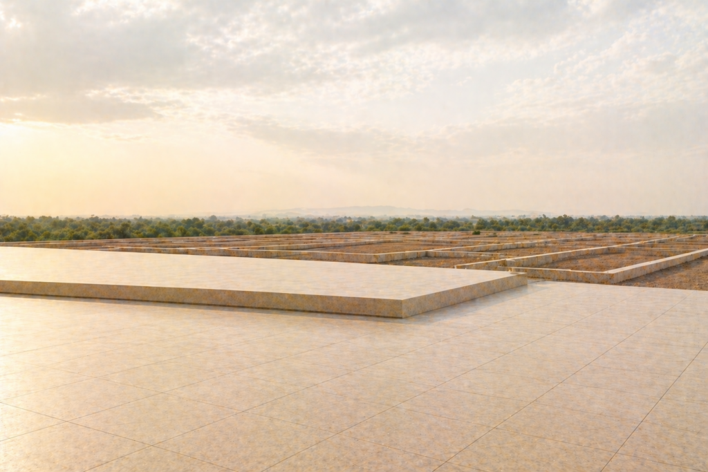
Bangalore’s freight logistics geography is organized around three primary movement channels. The first is the national highway network, which provides connectivity to major manufacturing and commercial centers. National Highway 44 connecting Bangalore to Chennai in the southeast and to Hyderabad in the north, National Highway 48 connecting to Pune and Mumbai in the northwest, and National Highway 75 connecting to Mangalore and the western port of the same name form the primary long-haul road corridors. Industrial zones developed along these national highway corridors, including the Tumakuru Road belt on NH 48 and the Hoskote-Narsapura belt on NH 75, have organized manufacturing and logistics development around highway access.
The second channel is the Kempegowda International Airport at Devanahalli, which handles a significant proportion of Bangalore’s international air freight. For industries with time-sensitive or high-value freight requirements, including aerospace components, semiconductor materials, pharmaceutical products, and electronics, proximity to the airport and access to the airport’s cargo handling infrastructure represent important logistics considerations. The planned multi-modal logistics park adjacent to the airport zone is intended to create an integrated freight hub that combines air, road, and eventually rail connectivity.
The third channel is rail freight, which provides bulk commodity movement but has limited relevance for the high-value, time-sensitive freight categories most common in Bangalore’s industrial base. The Dedicated Freight Corridor development, which includes a connection to Karnataka, is expected to improve rail freight competitiveness over the medium term.
The Administrative System
Industrial zoning along the logistics corridors of Bangalore is governed by a combination of state industrial policy, KIADB estate planning, and local planning authority zone designations. The Tumakuru Road and Dabaspete corridor is governed by the local planning authority with KIADB industrial estates providing organized development zones along the corridor. The Hoskote-Narsapura industrial area is within the Kolar district planning framework but within the economic influence of Bangalore and served by the Hoskote KIADB estates.
The Logistics Parks framework, supported by the National Logistics Policy, has created a policy incentive for developing organized logistics parks with multimodal connectivity. Karnataka has identified logistics as a priority sector in its industrial policy, and the state government has allocated specific zones for logistics development within the BMRDA Master Plan 2031 framework.
The Operational Consequence
For enterprises with logistics-intensive operations, the choice between the technology services corridor locations and the logistics corridor locations involves a direct trade-off between talent accessibility and freight infrastructure quality. The Outer Ring Road and Whitefield corridors offer the deepest technology talent pools but have extremely limited large-parcel industrial land availability and are not positioned for efficient freight movement. The Tumakuru Road and Hoskote corridors offer logistics infrastructure and large industrial parcels but have smaller established talent ecosystems for technology roles.
The emerging answer for enterprises that combine technology and manufacturing functions is the North Bangalore corridor around Devanahalli, which offers a developing talent ecosystem, airport proximity for freight, and the Aerospace Park’s specialized industrial infrastructure. This corridor is designed to accommodate the convergence of technology and manufacturing that characterizes the next generation of enterprise investment in Bangalore.
The STALAH Interpretation
A disciplined enterprise with logistics requirements therefore maps its freight movement patterns, identifying the volume, frequency, and destination profile of inbound and outbound freight, before evaluating corridor options. In practice, we observe that enterprises that optimize campus location for talent accessibility without adequately assessing freight logistics often discover post-establishment that their logistics costs are significantly higher than projected. Over time, the evidence suggests that North Bangalore’s Devanahalli corridor offers the best balance of talent accessibility and freight infrastructure for the next generation of integrated technology and manufacturing enterprise operations.
The Risk Ledger
Last-mile freight congestion is a primary operational risk in corridors where urban congestion affects freight movement as severely as passenger traffic. Customs clearance delay risk is a second exposure for enterprises with international supply chains dependent on the Bangalore air cargo handling infrastructure. Corridor infrastructure investment lag is a third risk in emerging logistics zones where road and utility infrastructure development has been announced but not completed. Cold chain and specialized logistics availability is a fourth consideration for industries requiring temperature-controlled or hazardous materials logistics capabilities.
STALAH Knowledge Graph Links
This subject connects to our analysis of manufacturing expansion corridors, which describes the spatial organization of manufacturing and industrial activity in the Bangalore metropolitan region. The Devanahalli Aerospace Corridor analysis addresses the most significant emerging convergence zone for technology, manufacturing, and logistics activity in North Bangalore. The KIADB land allocation process describes how industrial estates organized around logistics corridors can be accessed by enterprises with freight-intensive operations.
Practical Audit Questions
Questions a disciplined enterprise should raise include: What is the freight profile of the enterprise’s proposed Bangalore operations in terms of volume, frequency, value, and temperature or handling sensitivity? Does the candidate corridor location provide adequate access to the relevant freight infrastructure, including national highway connections, air cargo handling, or rail freight, as applicable? What is the customs infrastructure available in the corridor, and is there an adequate bond warehouse or customs clearance facility? What is the availability and cost of specialist logistics service providers in the corridor, including customs brokers, freight forwarders, and last-mile delivery operators? Does the KIADB estate or planning zone designation of the candidate land accommodate the enterprise’s freight infrastructure requirements, including loading dock provision, truck maneuvering space, and container handling?
Related Reading
Frequently Asked Questions
Which highway corridor in Bangalore has the best logistics infrastructure for distribution centres?
NH-48 (Tumkur Road) is Bangalore’s strongest logistics corridor for distribution centres — it connects Bangalore to Mumbai via the Golden Quadrilateral, hosts established warehousing clusters at Dobaspet and Sompura, has 4-6 lane road width throughout the Bangalore metropolitan section, and is served by two rail freight terminals (Yeshwanthpur and Nelamangala). NH-44 (Hosur-Devanahalli corridor) is the second choice, with strong last-mile connectivity to Electronic City and growing manufacturing-driven warehousing demand from EV/electronics companies. SH-104 (Hoskote-Malur corridor) is emerging as the fourth logistics corridor, anchored by a new intermodal freight terminal and industrial growth around the Hoskote KIADB estate.
How does the Peripheral Ring Road affect industrial land values on Bangalore’s logistics corridors?
The Peripheral Ring Road (PRR), a 73.5km elevated and at-grade expressway encircling Bangalore’s outer development zone, is creating significant land value uplift in corridors it will intersect. Industrial land within 2km of confirmed PRR interchanges in the Devanahalli, Hoskote, and Attibele zones has appreciated 25-40% since active civil works commenced on the eastern section in 2023. The full PRR will create direct connections between all four major logistics corridors (NH-44, NH-48, NH-275, SH-104) without routing through Bangalore’s urban core, reducing logistics costs for multi-corridor distribution operations. Land banking near PRR interchange locations — before commissioning — represents the highest-potential industrial land investment in Bangalore’s 2026-2031 horizon.
What is the price difference for warehousing land between Bangalore’s four logistics corridors?
Warehousing land prices in Bangalore’s logistics corridors in 2026: NH-48 (Tumkur corridor, Dobaspet-Sompura) ₹800-1,400/sqft; NH-44 (Hosur corridor, Bommasandra-Attibele) ₹1,200-2,000/sqft; NH-44 north (Devanahalli) ₹600-1,200/sqft; SH-104 (Hoskote-Malur) ₹500-900/sqft. The Hosur corridor commands the highest prices due to EV and electronics manufacturing anchor demand. The Hoskote corridor offers the best price-to-logistics-quality ratio for operators seeking lower land costs with improving connectivity through PRR access. Tumkur Road’s established logistics ecosystem justifies its premium; new entrants should evaluate Hoskote as a 30-40% lower-cost alternative with equivalent long-term connectivity once the PRR and DMIC freight corridor become operational.
Arpitha is the founder of Stalah, a principal-led real estate house shaped by clarity, discretion, and long-term thinking. Her approach focuses on selective mandates, thoughtful representation, and measured real estate decisions.
Related Reading: